Rounding the Globe with Magellan: A PYP5 Maths Lesson
By Burcum Kesen
In our PYP 5 class, we recently embarked on an exciting transdisciplinary maths lesson that took us on a journey around the globe, combining history, geography, and mathematics. Inspired by the famous voyage of Ferdinand Magellan, the first person credited with circumnavigating the globe, the students were tasked with creating their own routes for an imaginary tour around the world. This lesson was part of a broader unit on exploration, blending historical learning with practical maths skills in a way that captured the students’ imagination.
We began by learning about Magellan’s remarkable voyage in the early 16th century. The students were fascinated by the scale of his journey and the challenges he faced—sailing into the unknown, battling rough seas, and navigating unfamiliar lands. The story of Magellan’s determination and bravery set the stage for the students’ own adventures. Their challenge was to chart a course around the world, planning a route that would take them from one port to the next, covering several continents and oceans along the way.
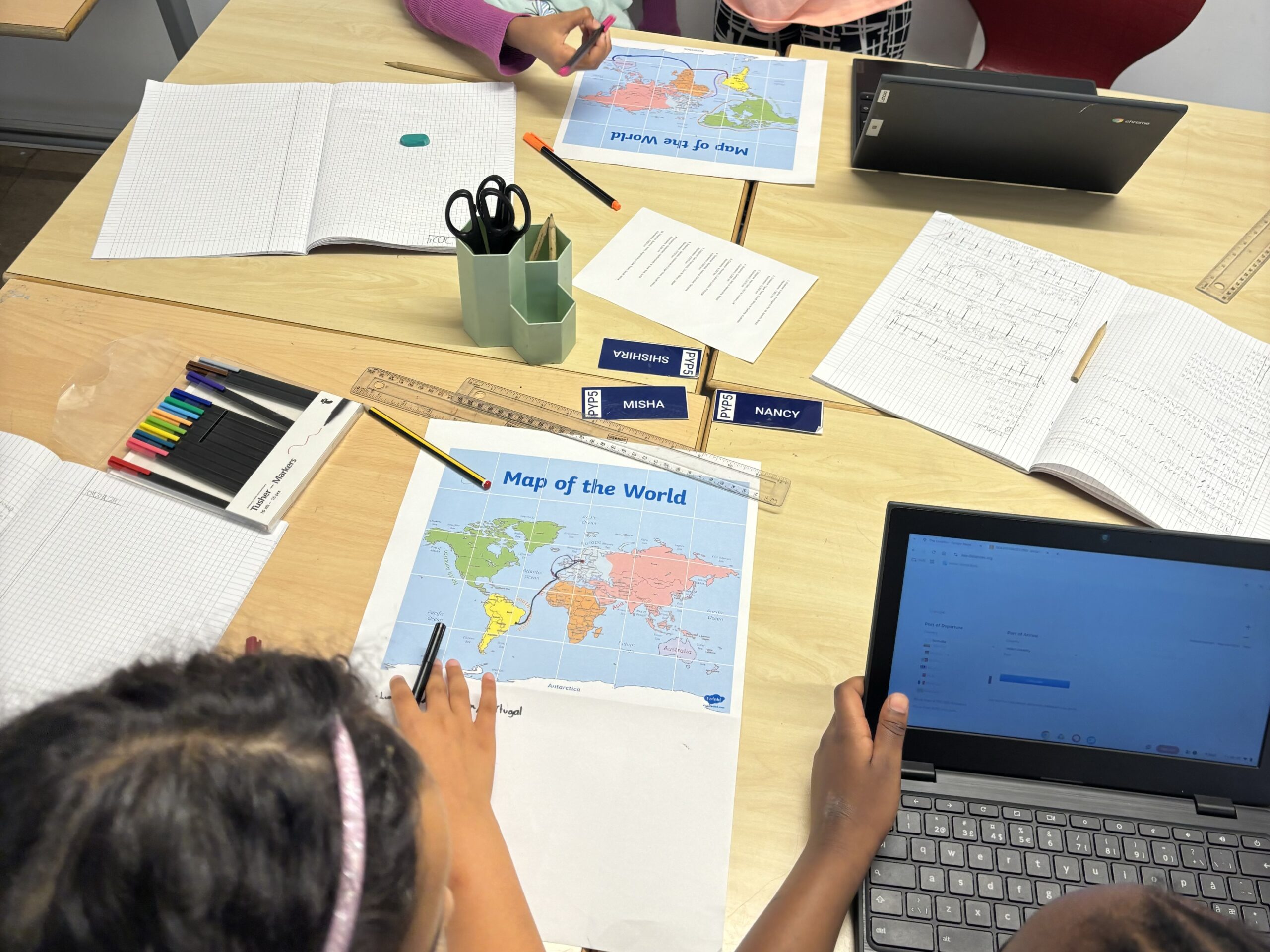
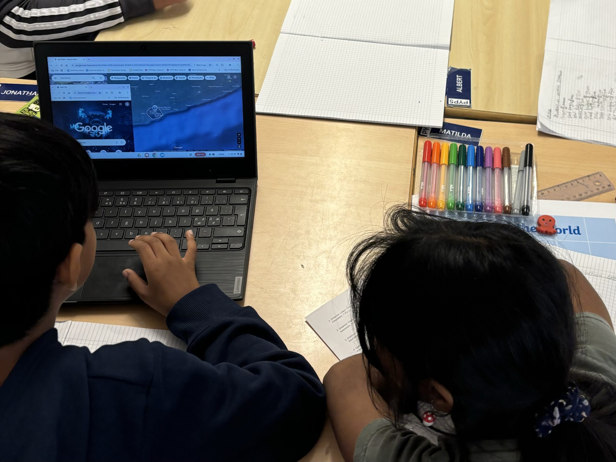
The centre of this activity, however, was mathematics. Specifically, the students used their estimation and rounding skills to calculate the distances they would travel on their journeys. Each student selected a series of ports they wanted to visit as part of their global tour. Once their routes were decided, they researched the sea distances between each pair of ports using online tools or maps. For example, if they planned to sail from London to New York, they would find the sea distance between the two cities. After collecting these distances, the students practised rounding each number to the nearest hundred or thousand miles, simplifying their calculations and making it easier to estimate the total distance of their circumnavigation.
This process of rounding and estimation brought the maths element to life in a real-world context. If, for instance, the distance between two ports was 2,785 miles, students would round it to 2,800 miles. As they added up the rounded distances for each leg of their journey, they were able to come up with an estimated total distance. This not only reinforced their understanding of rounding but also showed them how explorers, both historical and modern, often rely on rough estimates when planning long voyages.
In addition to the mathematical skills they developed, the students also expanded their geographical knowledge. They had to think critically about the ports they chose and consider the geography of the regions they would travel through. They asked themselves questions like, “Which oceans will I cross?” and “How far apart are my chosen destinations?” Through this process, the students learned about different countries, continents, and bodies of water, helping them build a more comprehensive understanding of the world map.
By the end of the lesson, the students had gained a deeper appreciation for the achievements of explorers like Magellan. They were excited to share their unique routes, imagining stops in places as far apart as Tokyo, Cape Town, and Buenos Aires. More than just a maths exercise, this activity sparked their curiosity about the world while honing important skills like rounding, research, and creative thinking.
You may also like
